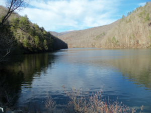
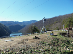
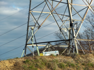
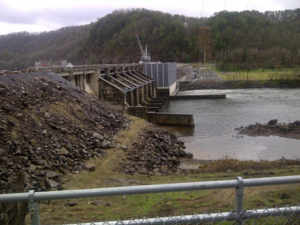
We have just successfully completed a 30-mile LIDAR project for ALCO/TVA transmission line starting at Alcoa, Tennessee and running southeasterly into the Appalachian Mountains just inside North Carolina at Deal’s Gap (Tail of the Dragon). The project consist of several control points along with two base stations. Due to sporadic cell coverage on the southern portion of the project, we chose to utilize OPUS along with post processing techniques to acquire our control data.
Some pictures from the Project: